Status: Done | Timeline: September 2023 - October 2024
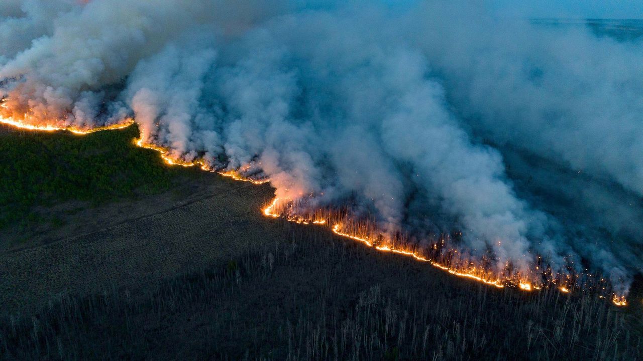
This project aimed to enhance the monitoring and management of active forest fires in Canada, with a specific focus on Alberta and the Northwest Territories. The research involved the development of an automatic fire clustering algorithm to identify individual fire hotspots, alongside effective perimeter delineation techniques using near real-time (NRT)/ultra real-time (URT)/real-time (RT) data. Data sources included the Fire Information for Resource Management System (FIRMS), which provided critical satellite-based fire detection and monitoring information. FIRMS offers access to NRT/URT/RT active fire data from various satellite sensors, specifically the Visible Infrared Imaging Radiometer Suite (VIIRS) and the Moderate Resolution Imaging Spectroradiometer (MODIS), allowing for accurate tracking of active fire locations and progression. A significant aspect of the project was the generation of timely fire progression models, enabling proactive measures in fire management and response. By leveraging satellite-based remote sensing technology and advanced geospatial analysis, the project provided crucial insights into fire dynamics, facilitating better preparedness and mitigation strategies against forest fires. The findings contribute to ongoing efforts in disaster management and environmental protection, aiming to reduce the catastrophic impacts of forest fires on ecosystems and communities.